We had planned a visit to Skye at the end of August and more by luck than judgement, we ended up renting a house for a week with direct access to a small beach on the eastern side of the Loch Bracadale. Driving towards the house we realised the potential, literally on our doorstep. A pattern of islands was revealed with tantalising glimpses of MacLeod’s Maidens in the distance. This would surely be our first days kayaking, as long as the weather held, which it did!
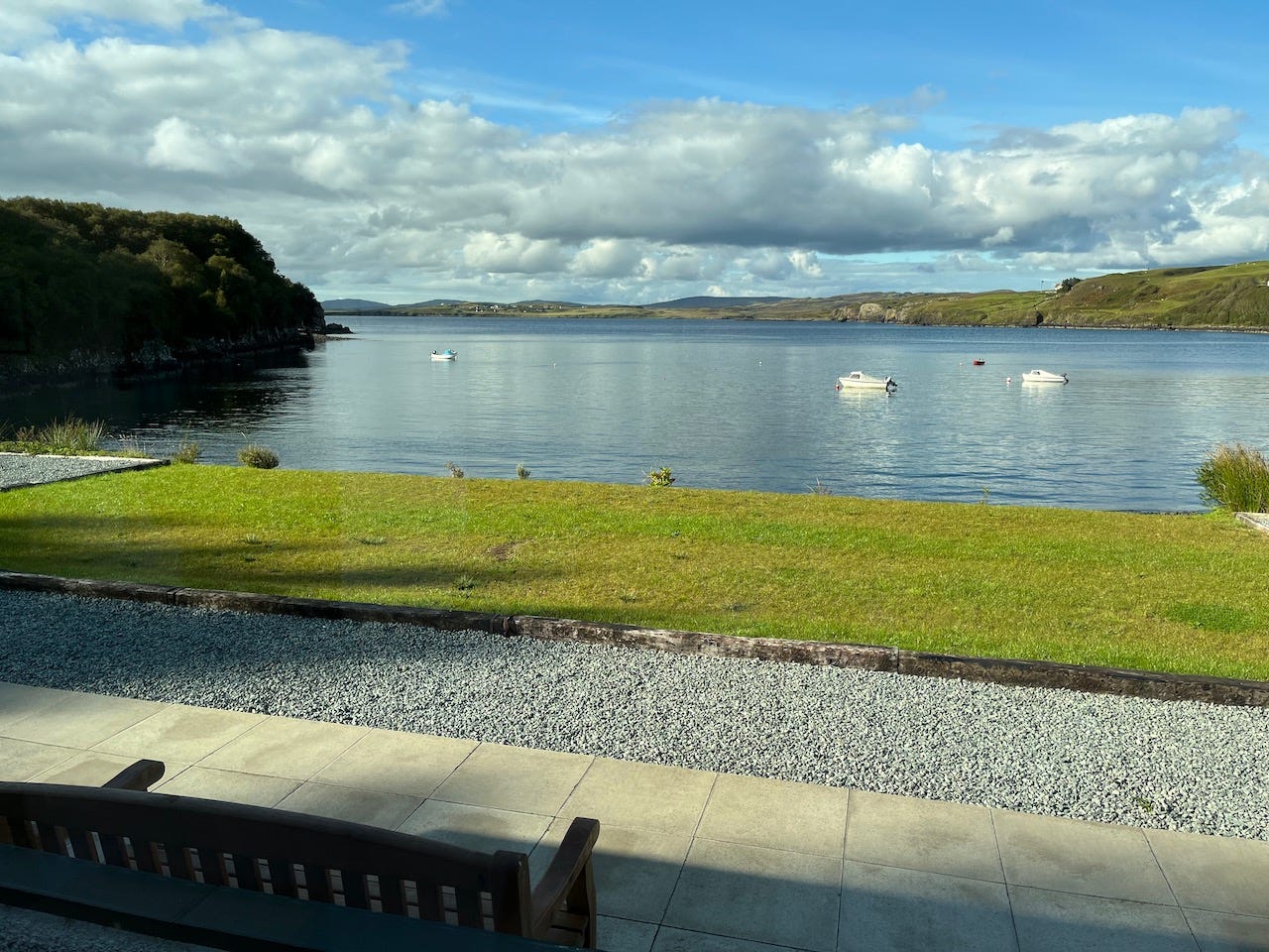
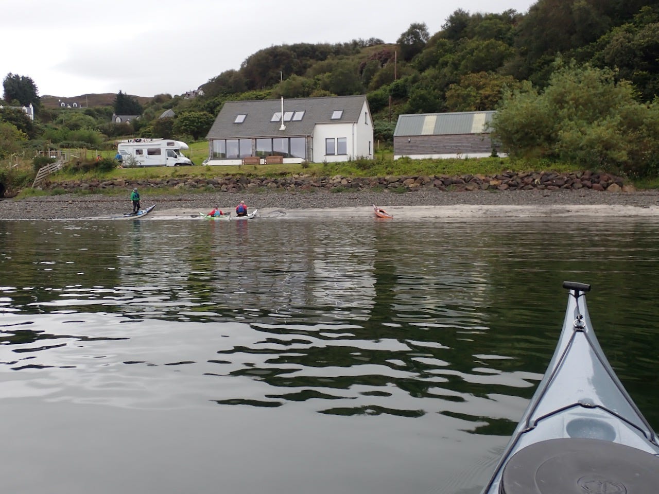
One of the most noticeable aspects of paddling in Loch Bracadale is that the local boats are so much smaller, both in numbers and size, when compared to Jersey. Small Orkney’s moored in the bays whilst a number of compact fishing vessels place their creels in the more sheltered nooks and crannies. This is one of the largest semi protected bays around the coast of Skye, what attracts and motivates the fishermen is similar to what attracts the sea kayakers.
Our first island, this particular day, was Oronsay, which translates as tidal island. The tide wasn’t in our favour on this day as the narrow neck of land had already dried, necessitating a detour to the west. We did return later in the week as Janet and myself wanted to complete a full circumnavigation in order to send a GPX track to John Willacy at Performance Sea Kayaking, as part of the 1,000 island challenge. If you haven’t seen his website take a look and consider getting involved.
There are a number of caves and arches around the coast, many of which can be explored by kayak. Anyone paddling in this area is likely to encounter a number of Common Seals, ensure that you stay far enough away from any that are hauled out on the rocks, so that they don’t enter the water.
From here it was just a short, slightly downwind, crossing to Tarner Island. It is always distracting having Golden Eagles flying over your head whilst paddling, ensuring that it is difficult to maintain your track. We saw two on our crossing to Tarner Island. Landing is possible at the northern end of the island, whilst most of the coast is dominated by cliffs, punctuated by a variety of caves.
Navigational accuracy was restored for the paddle to Harlosh Island, the Golden Eagles had disappeared and we were ready for an early lunch. There is a beautiful sandy beach on the north side of the island, possibly the easiest landing in the whole of Loch Bracadale. It would have been rude not to take advantage of its convenience.
If taking a break, ensure that you appreciate the amazing mountain scenery, which frames the Loch. To the west, are the flat topped MacLeod’s Tables, North and South whilst to the east are the Cuillin’s. Britain’s most spectacular mountain range. We were fortunate that we had cloud free skies, unfortunately that is frequently not the case. The influence of geology on landscape being clearly visible, the jagged Cuillin formed from gabbro whilst the flatter summits of MacLeod’s Tables are a consequence of the horizontal plane of the basalt lava flows. Geology is the foundation of the island but it is the impact of the glaciers, during the Pleistocene period, which is responsible for the dramatic scenery which attracts us as sea kayakers. Don’t let anybody tell you that glaciation has nothing to do with sea kayaking.
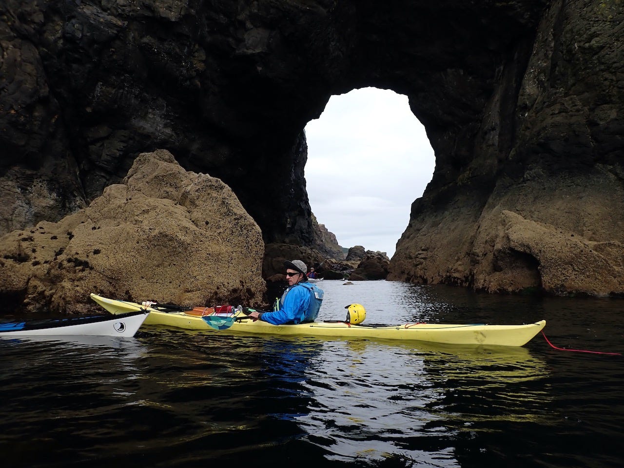
From Harlosh Island we headed towards Brandarsaig Bay, on the west coast of Loch Bracadale. Avoid taking too direct a line towards Idrigill Point, as you will miss out on some amazing rock architecture. Allow plenty of time to cover the couple of miles as there are numerous distractions. If you are fortunate you may encounter some of the Harbour Porpoise, which frequent these waters. In August this year we had some delightful views of these small cetaceans, including a couple completely leaving the water, fairly close to Harlosh Island.
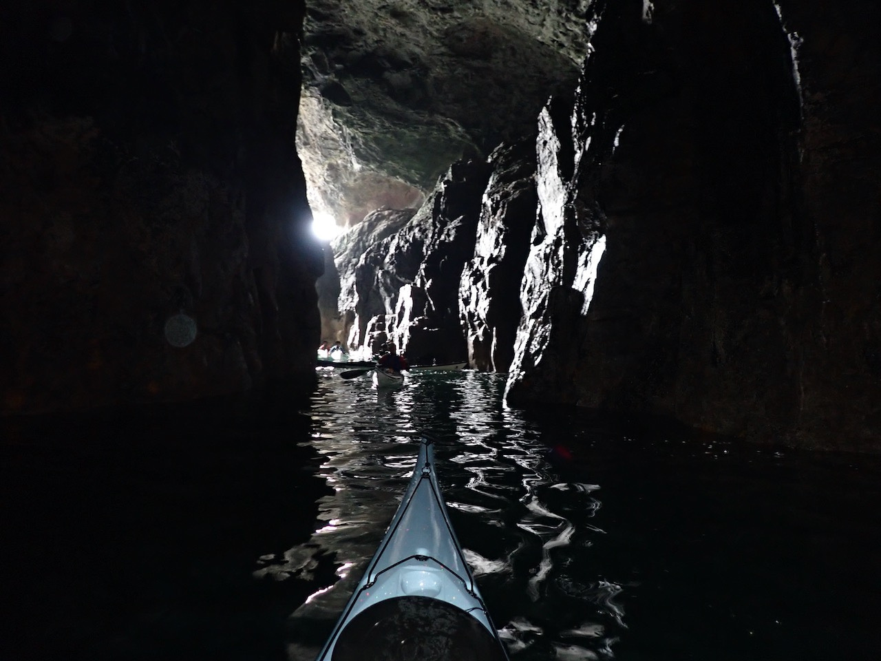
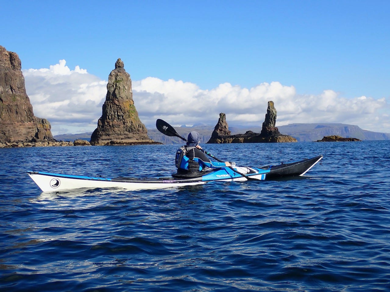
Although not technically part of Loch Bracadale, if paddling in the area, endeavour to include a visit to MacLeod’s Maidens, slightly to the west of Idrigill Point. The largest stack is the mother whilst the two smaller ones are the daughters. Supposedly related to one of the Chiefs of the Clan MacLeod. The mother was first climbed in 1959. It requires a 75 metre abseil and a scramble across boulders at low tide just to reach the foot of the climb. The outer stacks require all of this, plus a 55 metre swim. Climbing these stacks is not for the faint hearted and probably not a winter activity.
Wiay is the largest island in the Loch, which we stopped at, on our return journey. This was an island I camped on 21 years earlier whilst paddling around Skye. I had only visited on one other occasion as part of a day trip at one of the Scottish Sea Kayak Symposium’s. Uninhabited since at least the 1891 census, it is reported that the last residents had succumbed to tuberculosis. Most of the island’s coast is protected by cliffs, rising to a height of 59 metres in the south east. Landing is possible in the small bay, Camas na Cille, “churchyard bay”, although the boulders aren’t always kind to sea kayak hulls. The faint remains of some small dwellings are still visible. If time allows it is interesting to walk across the interior where the are a number of small lochans.
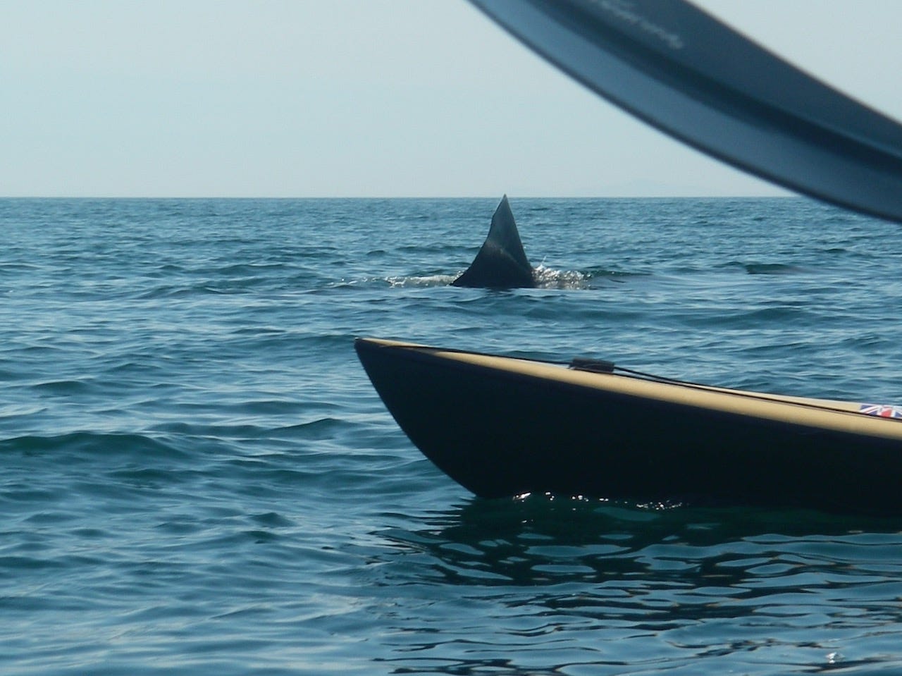
One evening, many years ago, walking across the island I came across nesting Red Throated Divers, whilst on another visit a large basking shark appeared off Camas na Cille, as we launched. In these waters there is always the possibility of some interesting wildlife encounters.
As in common with so many of the more remote areas of the Scottish the area was visited by Boswell and Johnson in the late summer and autumn of 1773. The 83 day journey was described in Samuel Johnson’s book “A Journey to the Western Islands of Scotland” published in 1775. In his book “A Journal of a Tour to the Hebrides”, which was published in 1785 James Boswell recounts visiting one of the large sea caves on Wiay.
Around the 25th September 1869 the cargo ship, “Harmonia”, registered in Aberdeen, was washed ashore, on Wiay, with a cargo of timber. Late in the evening of the 6th July 1869 the ship was approximately 200 nautical miles off the Grand Banks, Newfoundland when it started to leak and was dismasted. 8 of the crew, including the Captain were drowned, 7 other crew members clung to the wreckage, waiting to be rescued 2 days later. Amazingly, the ship didn’t sink and after drifting across the North Atlantic, for 81 days, the “Harmonia” was washed ashore on Wiay, some records indicating at the south West Point, Rubha Garbh, although this wasn’t confirmed.
Wiay is large enough to offer a variety of scenery, which will enthral kayakers but small enough that it can be incorporated as part of a longer day trip. We landed on Wiay towards the end of a reasonably long day on the water but a paddle to Wiay, alone, justifies the effort of visiting Loch Bracadale.
For the majority of this paddle very little attention will have been paid to tidal streams, as they are generally very weak in this area. So often the quality of a sea kayaking trip is measured in the strength of the tide, the opportunity to surf standing waves, carving turns on the green faces of tidal races etc. This is not the case in Loch Bracadale. Pleasure is dependant upon the ability to interpret the physical landscape. The relationship between the bedrock and the physical processes at work, creating a fascinating backdrop and an enjoyable experience for the visiting sea kayaker.
There are sections of the Skye coastline, which are far more dramatic than Loch Bracadale and places, which are more popular with the sea kayaking community. What Loch Bracadale offers though, is an enjoyable round trip, without time consuming shuttles. An insight into the geology and landscape of the area. Snapshots of the history of this region of the Hebrides and the possibility of some enjoyable wildlife encounters. What more do you need for an enjoyable and memorable days sea kayaking?


