The north west corner of Jersey provides possibly the finest sea kayaking on the island. The granite cliffs exposed to the North Atlantic swell have been eroded into physical features, which encourage exploration. This is set against a long and varied human history.
The ideal launch spot is L’Etacq, at the northern end of St Ouen’s Bay. Faulkner Fisheries occupy the Second World War German bunker, close to a couple of possible car parks and launch sites.
Sadly the German’s didn’t appreciate the value the importance of historic sites as they blew up a Martello style tower, which was built close to the headland between 1832 and 1834. They did recognise the value of strategic sites though, and replaced the tower with the existing bunker. There are launch sites both side of the bunker but I prefer the southerly option with its sandy beach. Ideally leaving three hours either side of high water is preferable.
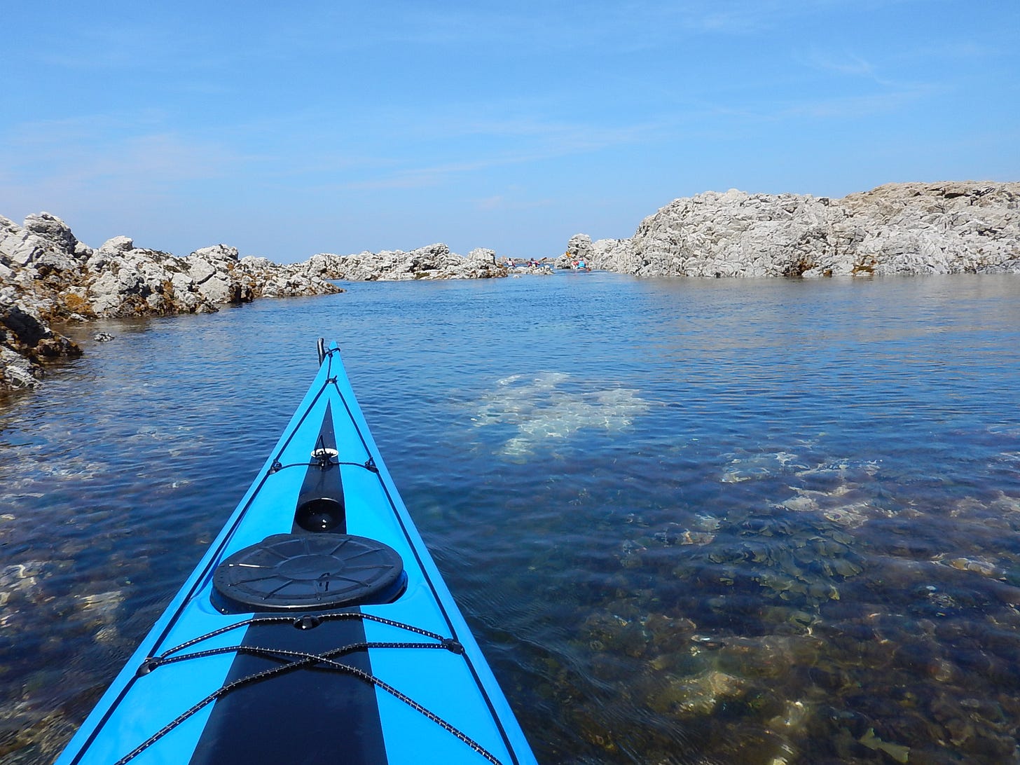
Head out to sea, whilst looking for a channel, which will lead you north through the large reef. There are a number of possible options depending upon the height of the tide and the size of the swell. Spare a thought for the inhabitants of the lost manor of La Brecquette. Supposedly owned by John Wallis is was struck by a huge storm in the middle of the 14th Century, with the buildings and the oak forest which surrounded it, washed away by waves which could have traveled from as far away as Canada. Whether legend or fact there is no disputing the force of the swell which releases its power at times on this reef. When paddling in the area watch for unexpectedly large swells breaking with little or no notice.
Continuing north the first significant feature is possibly the most distinctive physical landmark on the island, Le Pinacle. Deposits dating back to c4800 BC, which is Early Neolithic, have been found in the area around Le Pinacle. There is also evidence of an early stone axe factory dating back to this period, with dolerite axes having been found on some of the other Channel Islands. In addition a Gallo-Roman temple was constructed on this site. This resulted in human occupation/interest lasting over two thousand years.
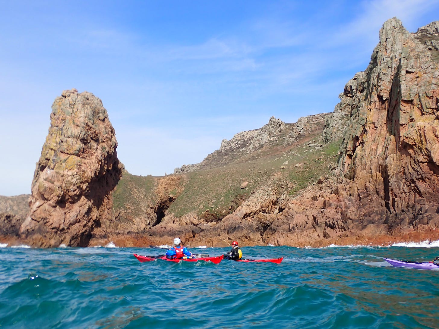
The view from the sea is truly spectacular, whilst exploring the area on foot exposes you to the special atmosphere of this unique and important site. For the more adventurous visitor there is a cave which runs underneath Le Pinacle. It requires some challenging scrambling, including a section in the dark, wading through water and possibly swimming. A memorable experience.
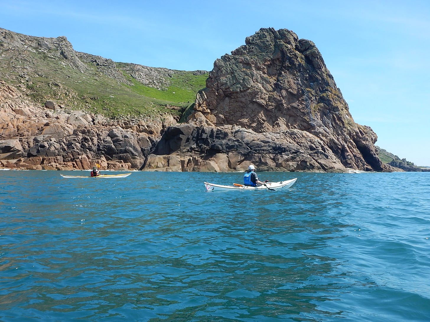
To the north of Le Pinacle there is a small bay and for most of the year a stream can be seen cascading down from the cliff top in a series of short waterfalls. This is from an area known as Le Canal du Squez, where Mesolithic hunters lived between 9,000 and 10,000 years ago. At this time Jersey was still part of the European mainland and the cliffs would have looked out over a coastal plain that was gradually flooding as the sea level was beginning to rise as the climate was starting to warm up.
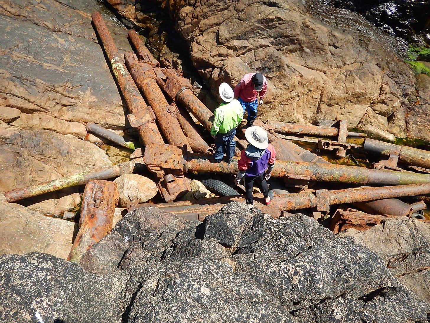
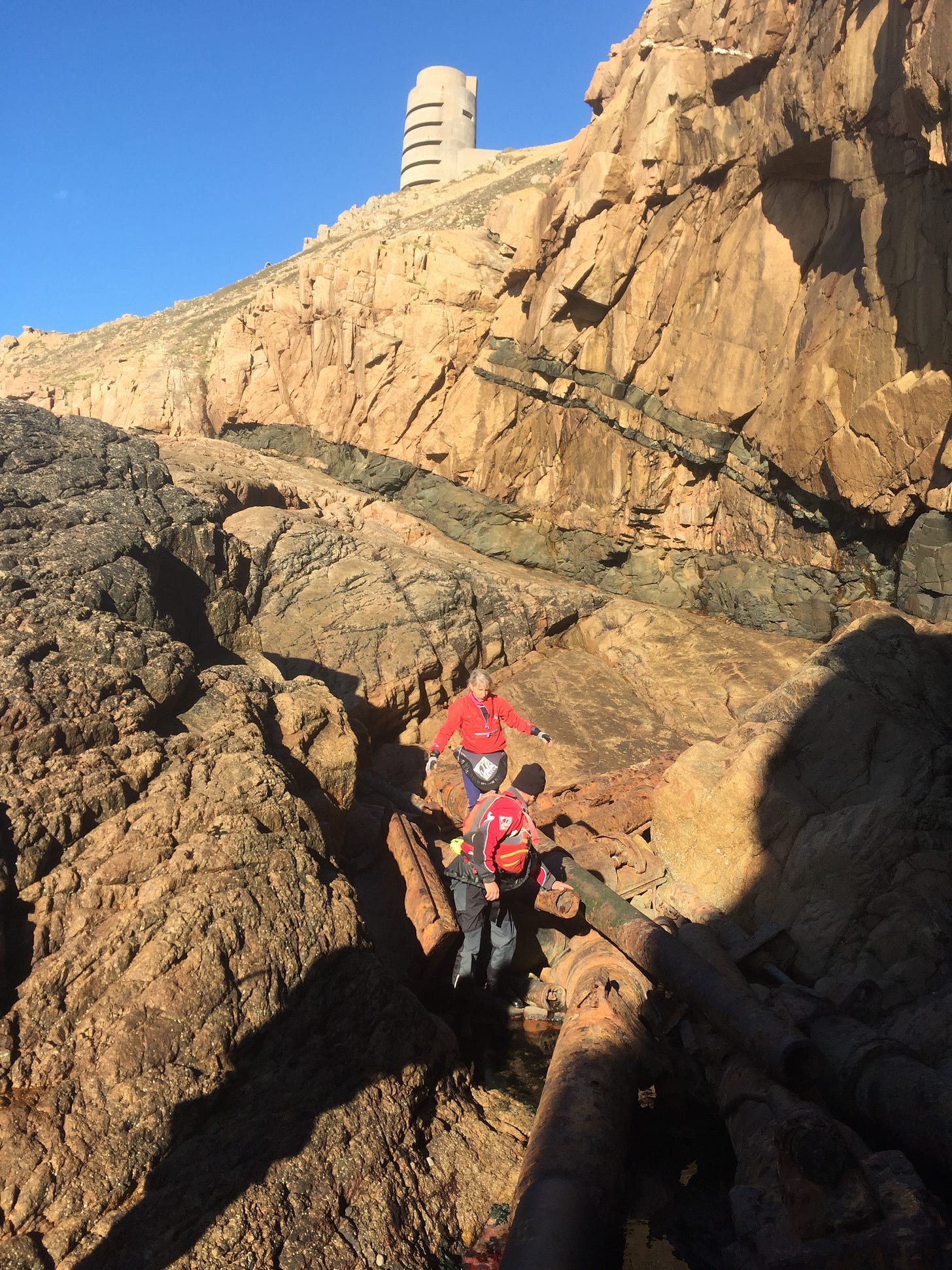
The second small bay to the north of Le Pinacle is Rouge Nez, it is immediately south of the large German bunker on the headland. If conditions allow try and land here and climb behind the large rocks where there are the remains of 22 German guns. Originally 29 were pushed over the cliff edge but 7 have been removed and placed back on some the bunkers around the island. This is a great place to stop and have lunch, particularly during the summer months when there is some delightful swimming off the rocks.
Above on the cliff top is the large bunker, Marine Peilstand 3 tower, 7 stories high, a Seetakt radar was mounted on top. Originally 9 of these towers were planned but only only 3 were built, this one was constructed in 1943. It is the most obvious man made structure along this section of coast.
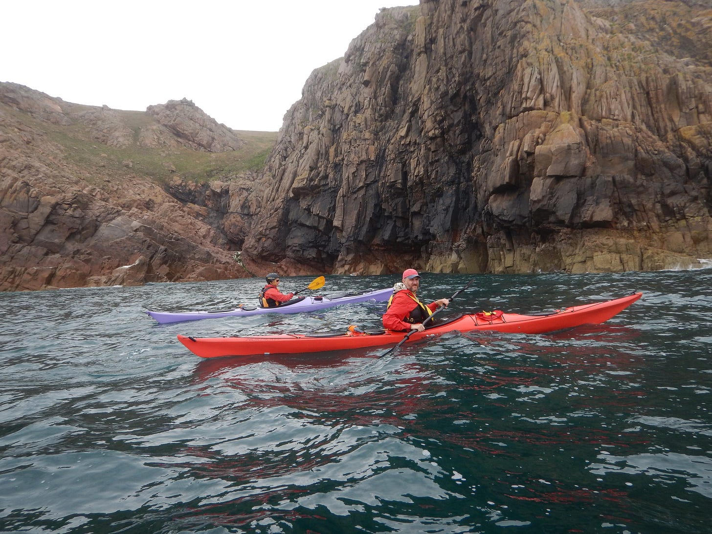
Paddling further north the scenery remains superb until you reach the final cliff just to the south of the castle at Grosnez, La Nethe Falaise, which means “The Black Cliff” in Jersey French. Like its namesake on Snowdon, “Clogwyn du’r Arddu”, which also means “The Black Cliff”, it offers some superb climbing in a very impressive location. Viewed from the cockpit of a kayak it is simply a huge expanse of rock, unlike anything else on the island.
The ruins of Grosnez Castle are visible above. It was built in about 1330 to provide shelter for the local inhabitants, if there was an attack by French forces. The main drawback with the castle was the lack of a well, and therefore a guaranteed water supply, within the walls. It has been a ruin since the mid 16th Century. A walk along the cliffs to the Castle and down to the small lighthouse is recommended to all paddlers as the views to the offshore reefs and other islands are inspirational. Weeks of high quality kayaking are revealed.
In just over 1 nautical mile we have experienced some of the finest sea kayaking on the island, been aware of the potential power of the North Atlantic and viewed evidence of nearly 10,000 years of human history. Not bad for a mornings paddle.


